March 17, 2014
Stormy Winter Weather Moves South
The United States National Oceanic and Atmospheric Administration (NOAA for short) has published an article on the stormy weather we experienced over the winter. They say that:
In the North Atlantic [there have been] an unusually high number of hurricane-force storms. Between October 25, 2013, when the first hurricane-force event of the season occurred, and March 8, when the most recent one to date occurred, 43 unique hurricane-force events have blasted their way across the North Atlantic. Thirty of them underwent rapid intensification. The most intense system occurred on December 24, 2013; pressure in the heart of the storm dropped to 929 hPa as the storm lurked north and northwest of the British Isles.
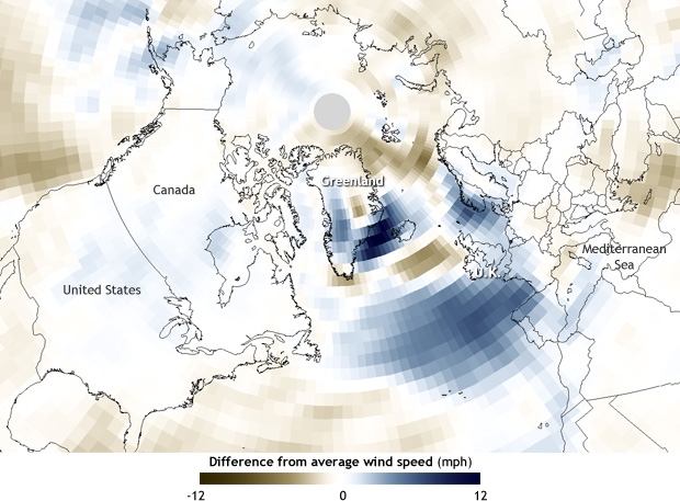
and show this chart of wind speed anomalies over the North Atlantic compared to the 1981-2010 average:
Notice the large area of blue revealing abnormally high winds out in the Atlantic to the west of Great Britain. There's a smaller but even more intense area of strong winds between Iceland and Greenland. The NOAA go on to point out that:
Another difference between this winter and last is that while both seasons saw storm tracks passing near Greenland, many of this year’s events took a more southerly track through the eastern Atlantic near the British Isles.
We had noticed that! So had the UK's Met Office, who have produced this video that covers the stormy weather we experienced here in the UK in January 2014:
As the Met Office point out (at 00:18):
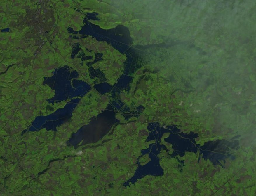
For the South of England it was the wettest January on record, and also the wettest January in the long running England and Wales precipitation series, that extends back to 1766.
They have also produced two detailed online reports on the storms, for December/January and January/February, together with an even more detailed downloadable briefing report. The last two paragraphs of the summary section of the latter states that:
There is an increasing body of evidence that extreme daily rainfall rates are becoming more intense, and that the rate of increase is consistent with what is expected from fundamental physics. There is no evidence to counter the basic premise that a warmer world will lead to more intense daily and hourly heavy rain events.
More research is urgently needed to deliver robust detection of changes in storminess and daily/hourly rain rates. The attribution of these changes to anthropogenic global warming requires climate models of sufficient resolution to capture storms and their associated rainfall. Such models are now becoming available and should be deployed as soon as possible to provide a solid evidence base for future investments in flood and coastal defences.
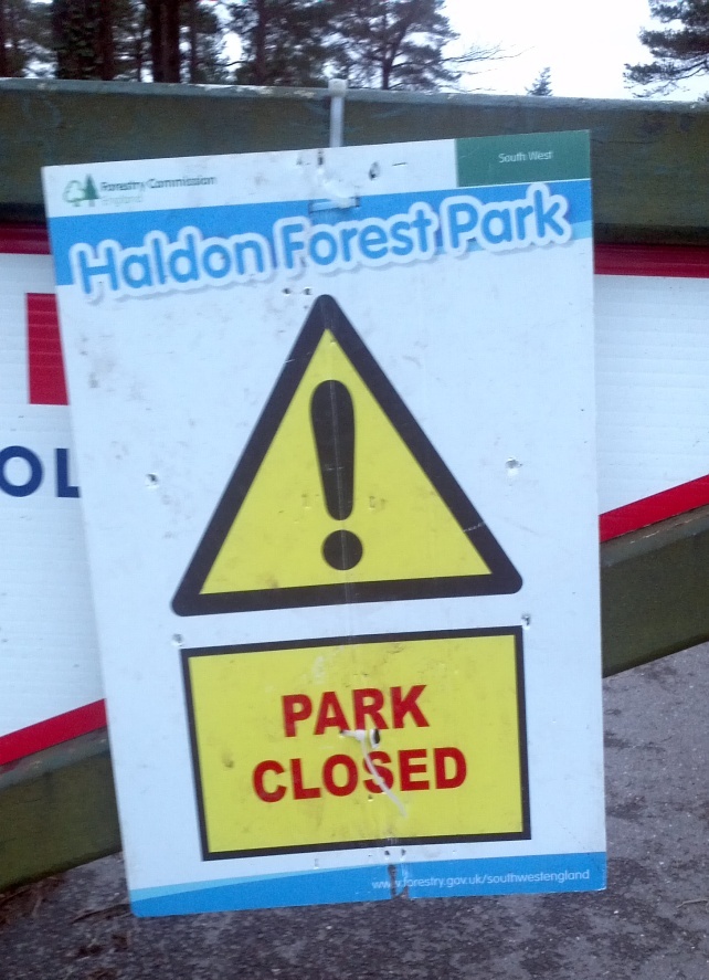
Here's a couple of pictures taken at the Haldon Forest Park just up the hill from here, to give you some idea of some of the local effects of all the recent wind and rain:
One final message of cold comfort from the NOAA:
These intense winter storms don’t always call it a season with the arrival of the spring equinox in late March. Last year’s final event occurred on April 19th, 2013.
Filed under Climate by
